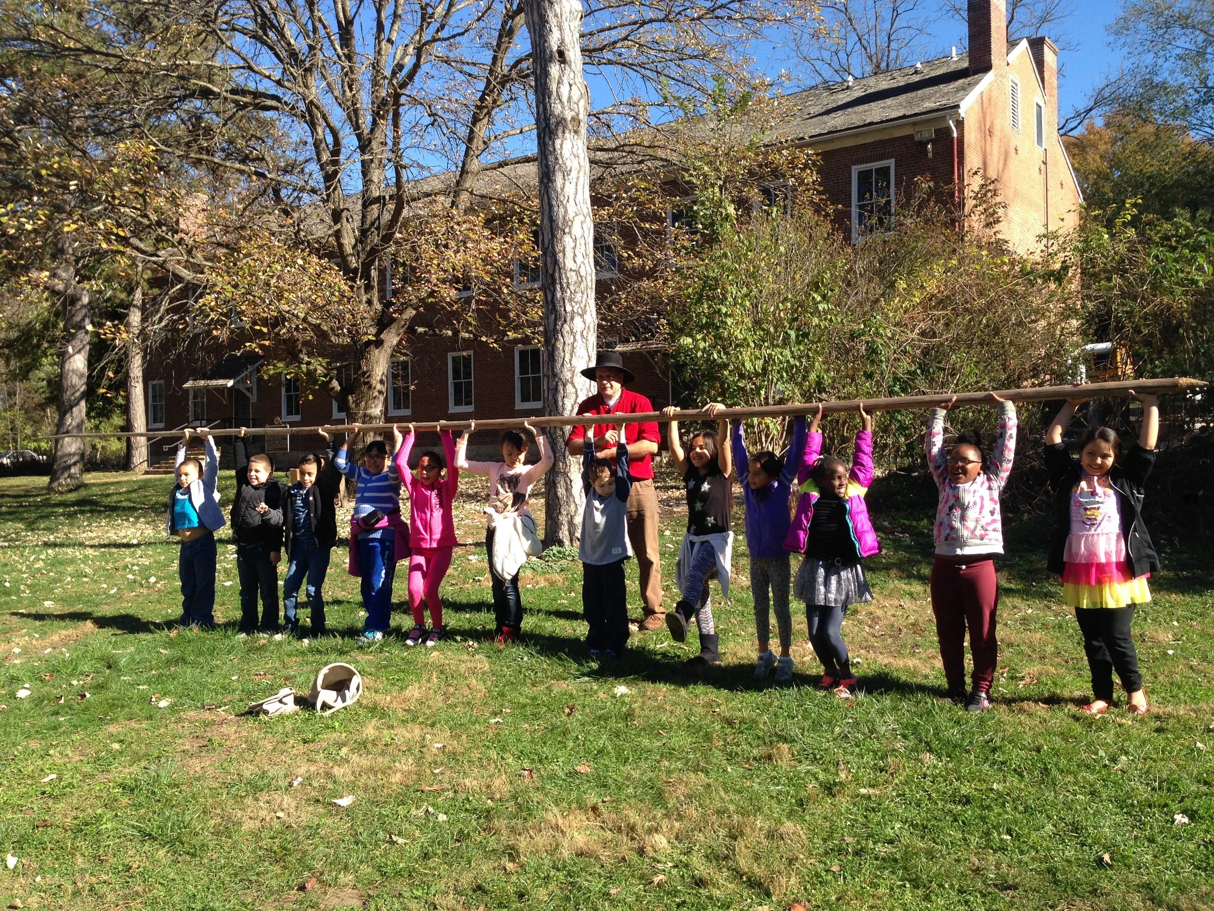
The Shawnee Indian Mission (SIM) - one of the most historic sites in the State of Kansas and both a State and National Historic Landmark - is honoring its past while crafting a new future. As of July 1, 2016, the City of Fairway assumed Mission operations, taking over from the Kansas State Historical Society (KSHS). The KSHS maintains ownership, but the City of Fairway and the SIM Foundation, a non-profit organization, are working together to plan a vibrant new future. The Mission has a complex and diverse history as the Methodist Mission and Manual Training School, supply post on the Santa Fe/Oregon/California Trail, home to a Territorial governor, site of the Kansas 'Bogus Territorial Legislature,' and a Union troops’ encampment during the Civil War. It has been host to community events, school programs and children’s living history camps, historical skills site for adults, and a vibrant place for community volunteers.
A strategic plan was developed for the site’s future, incorporating input from the Foundation, area experts, and the community. The strategic plan served as the guide for development of a site-based plan that integrates the three historic buildings and land with other ideas for the Mission. In a June 2017 charrette, Eco Abet and the SIM Foundation partnered with the design community to develop this comprehensive site-based plan to guide the Mission’s exciting future.
TEAM ONE
Key Ideas: Recognize the History + Timeline of the place, Maintain North-South Viewshed thru site - Looked at program needs, community involvement, ecological integrity & historical significance. Create more prominent crosswalk based on traditional Native American patterns.
Land Use
Draw attention to where creek meets the road, add amphitheater within northeast grove of trees, prairie grass in the north surrounded by stonewall to celebrate viewshed through site.
Existing Building Use
West Building: Library, reading room, and coffee shop, upstairs artist in residence & exhibition room
North Building: Classrooms, crafts, and other needs
East Building: Gallery space and interactive digital display, glass wall to break up space but preserve views through
TEAM TWO
Key Ideas: Connection and Education - Looked into how site was used historically and what came before us.
Land Use
North - Life before the Johnsons: New sign to welcome visitors, native prairie and pre-settlement agriculture, beekeeping area, amphitheatre/outdoor classroom in northwest grove of trees
South - Changing times: Life on the Mission, event space, apple trees, post-Johnson agriculture, connection to Johnson cemetery. System of trails to navigate visitors throughout the site, use public area following creek to extend trail into neighborhood.
Existing Building Use
West: New addition to create indoor/outdoor event space
North: Coffee shop, classrooms, extend porch for outdoor seating and performances
Create N-S site connection with North Building and West Building
TEAM THREE
Key Ideas: History + Future, Evolution / Timeline - Create connections & bring in revenue, increase visitors & visibility.
Land Use
Perimeter & Pathways: Create visual cue by adding perimeter fencing (maintain stacked wood of existing), new crosswalks connecting all new and existing buildings, call out Santa Fe Trail
North: Event space with prairie grass - 1.7 acres, amphitheatre/beer garden north of North Building
South: Apple orchard, medicinal plant garden for education
New Structures: Use Native American architectural language. Archway at main crosswalk to celebrate connection, new event space on north end of site to serve as entrance from school and marking of site boundary, wigwam structures throughout site for outdoor classrooms.
Existing Building Use
West: Artist in residence / site caretaker
North: Mercantile & education
East: Exhibits & education
TEAM FOUR
Key Ideas: Time Trail as framework for sustainable growth - Information plaques as you move through, zones of program form around trail, use pervious paving to mitigate water runoff.
Land Use
Raised crosswalk to slow traffic & connect north and south, additional parking & bike racks, preserve stream & create more natural ecosystem - Woodland > Savanna > Prairie > Grass
North: based on natural ecology, bring back prairies
South: based on human activity, create programmatic areas & outdoor classroom space
New Structures: West Building Addition, used for visitor’s center, office spaces, and education. East of North Building to become icon for Shawnee Indian Mission. South of East building, used for storage, events, etc.
Existing Building Use
West: space for artists & craftsmen, live above and display work on first floor (fiber arts, woodworkers, other artists whose work align with things learned at the mission)
East & North: maintain historic integrity and museum space, create rotating exhibits using found artifacts on site


